Panama occupies a narrow, tectonically complex land bridge between North and South America, wedged at the meeting point of the Caribbean, Cocos, Nazca and the small Panama microplate. This unusual position gives the country a mix of hazards: subduction-driven earthquakes offshore the Pacific coast near the Costa Rican border, and shallow crustal quakes along the North Panama Deformed Belt beneath the Caribbean coast.
Earthquakes in Panama: Live Map & Seismic Hazard

Advertisement
Latest quakes in this area
- Loading…
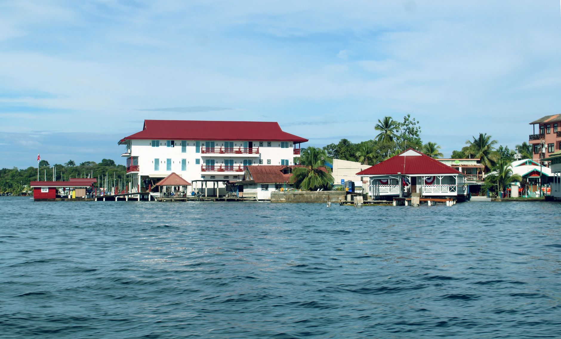
The country's most significant modern disaster was the magnitude 7.7 Limón earthquake of 22 April 1991, centred near the Panama-Costa Rica border. It struck the province of Bocas del Toro and neighbouring Costa Rica, killing dozens of people and triggering coastal uplift of more than a metre in places, permanently changing the shoreline. Further back, the magnitude 7.9 Panama earthquake of 1882 ruptured offshore the Caribbean coast near Colón and generated a tsunami that struck the coastline — one of the largest quakes recorded in the region before modern instrumentation.
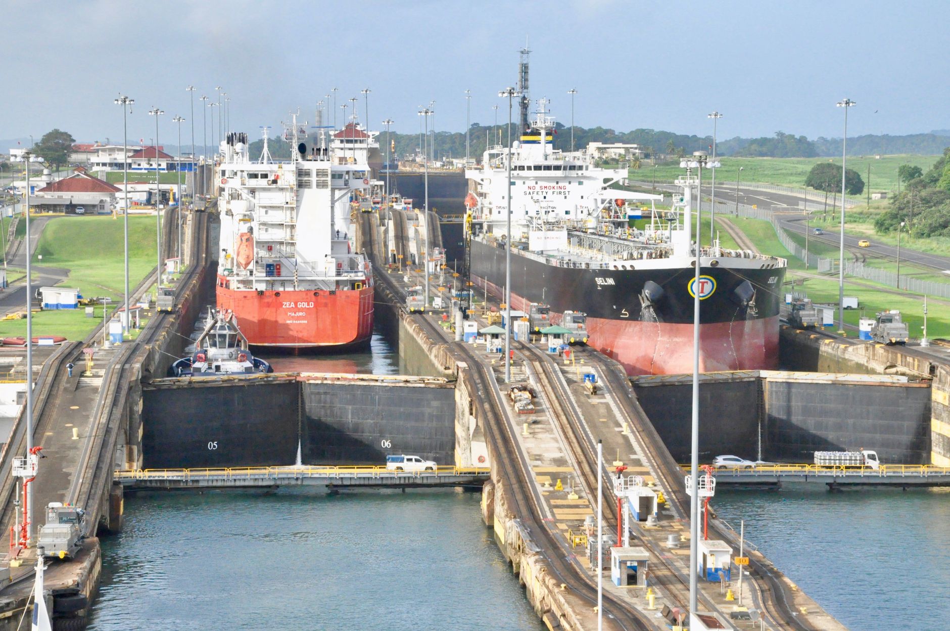
Panama City itself, on the Pacific side, sits at comparatively lower seismic hazard than the western provinces, though the Panama Canal Zone and its infrastructure are engineered with seismic risk in mind given the country's economic reliance on the waterway. The Instituto de Geociencias at the University of Panama and the national civil protection agency SINAPROC monitor seismic activity nationwide. Because the country straddles several plate boundaries at once, small earthquakes are recorded somewhere in Panama nearly every week, even though damaging events remain comparatively rare.
See also
Advertisement