Quito, Ecuador's capital, sits high in the Andes in a country that forms part of the Pacific Ring of Fire. Beyond the threat of great subduction earthquakes offshore, Quito faces a more direct and local danger: an active system of geological faults running right beneath the city, making it one of the highest-risk Andean capitals for earthquakes.
Earthquakes in Quito, Ecuador: Live Map & Seismic Risk
Advertisement
Recent quakes near Quito, Ecuador
- Loading…
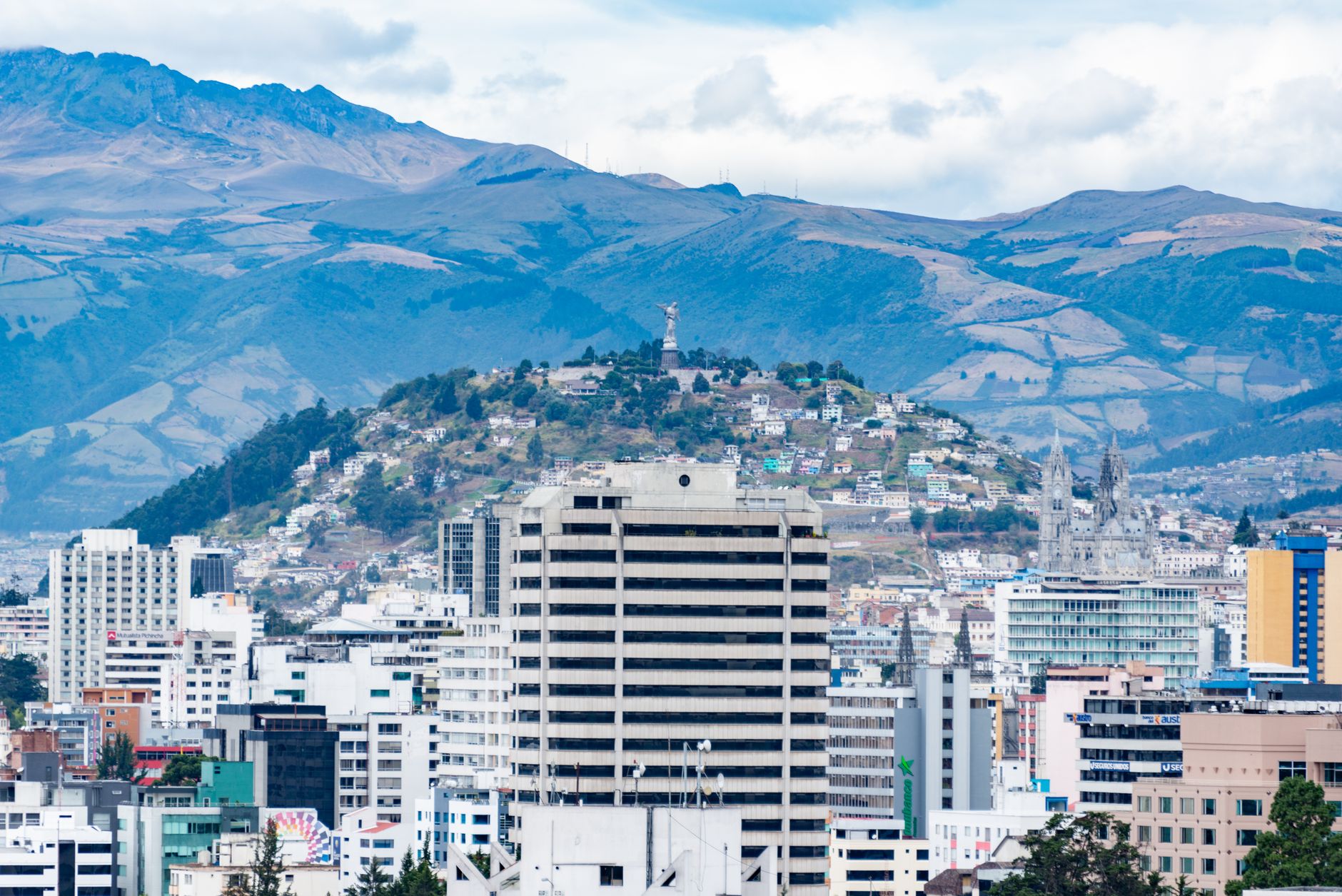
Geologically, Ecuador sits where the Nazca plate dives beneath the South American plate, generating large earthquakes off the coast. But Quito also has a major local threat: the Quito Fault System, a set of reverse faults that cross beneath the city and are responsible for its topographic uplift. These faults can produce shallow earthquakes that, because of their proximity, would be especially destructive. The city sits in an Andean valley on soils that can amplify shaking. History bears this out: Ecuador has suffered major earthquakes, including the 1906 offshore quake (close to magnitude 8.8) and the catastrophic 2016 Pedernales earthquake (magnitude 7.8), which killed hundreds. Quito and its surroundings have also experienced historic quakes such as the 1868 event in nearby Ibarra. Because of this combination of subduction and local faults, the capital maintains seismic microzonation studies and emergency plans — earthquake preparedness is a genuine priority for residents.
See also
Advertisement