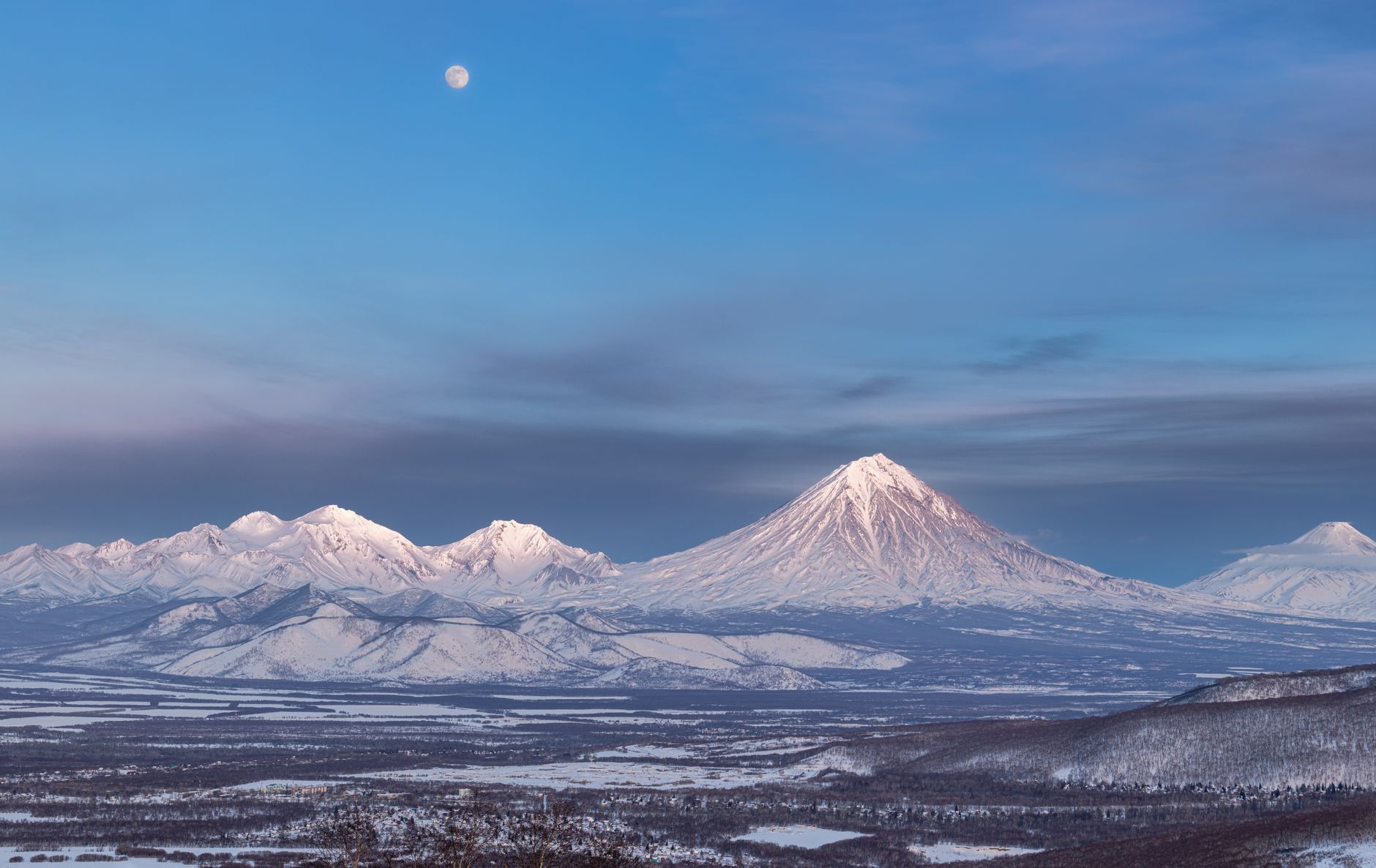
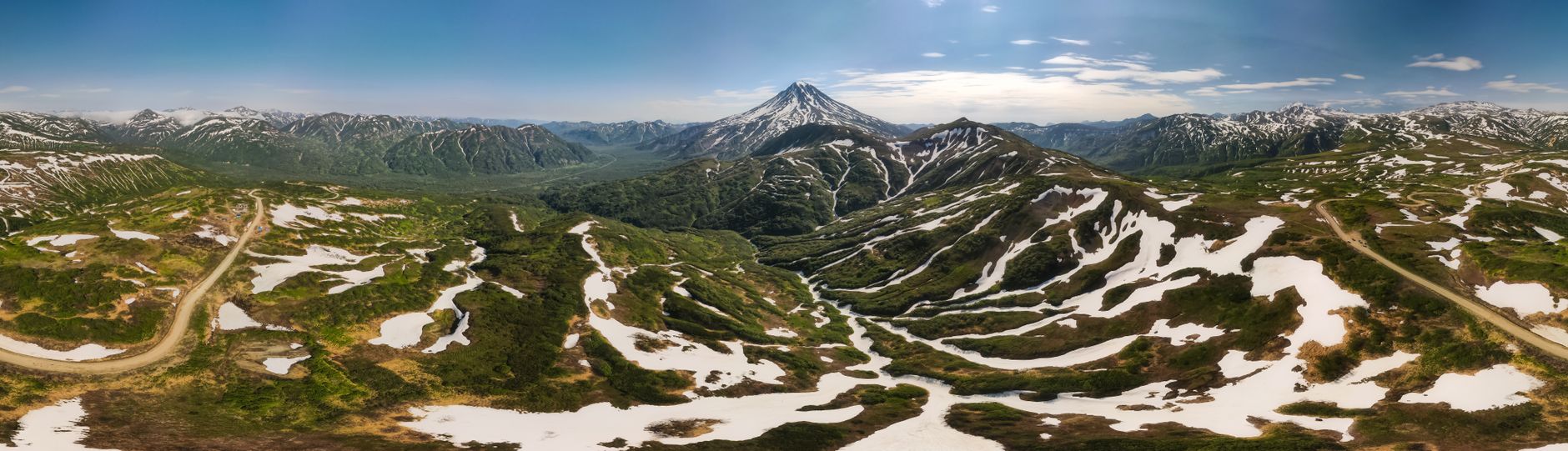
Russia's earthquake hazard is concentrated almost entirely in its Far East, where the Pacific plate dives beneath the Okhotsk plate along the Kuril-Kamchatka Trench — one of the most active subduction zones on Earth. The Kamchatka Peninsula, studded with more than 160 volcanoes including the active Klyuchevskaya Sopka, sits directly above this trench and records frequent moderate-to-large earthquakes, while the rest of European Russia, thousands of kilometres to the west, is geologically stable and rarely feels significant shaking.
Earthquakes in Russia: Live Map & Kamchatka's Megaquakes
Advertisement
Latest quakes in this area
- Loading…
The most powerful earthquake ever recorded in Russia struck near Severo-Kurilsk in the Kuril Islands on 4 November 1952: a magnitude 9.0 megathrust rupture that generated a Pacific-wide tsunami, devastating the town and killing an estimated 2,300 people, most from the wave rather than the shaking itself. That event remains one of the ten largest earthquakes ever instrumentally recorded worldwide. Kamchatka's regional capital, Petropavlovsk-Kamchatsky, home to around 160,000 people, sits close enough to the trench that damaging earthquakes and tsunami warnings are a recurring part of life.
Russia's Geophysical Survey of the Russian Academy of Sciences operates seismic and tsunami-warning networks across Kamchatka and Sakhalin to monitor this hazard and alert coastal communities. Because the Kuril-Kamchatka arc lies along the same Pacific Ring of Fire that produced the 1960 Valdivia and 2011 Tōhoku megaquakes, seismologists continue to watch the region closely for future large ruptures. The live map below shows current earthquake activity across Kamchatka, the Kuril Islands and Sakhalin, the parts of Russia where seismic risk is real and closely monitored.
See also
Advertisement