At 3:56 a.m. local time on 30 September 1993, a magnitude 6.2 earthquake (Mw, ISC) struck the Latur and Osmanabad districts of Maharashtra, western India, centred near the village of Killari. The rupture was extremely shallow, only about 10 km deep, on a fault that had never been mapped or previously suspected of major seismic activity.

The shaking killed an estimated 7,900 to more than 11,000 people — the USGS PAGER catalogue puts the toll near 9,748 — and injured roughly 30,000 more, making it one of independent India's deadliest natural disasters. In Killari alone, more than 1,200 of the village's roughly 16,000 residents died and nearly all of its 2,847 homes collapsed; across the wider region 52 villages were flattened and hundreds of thousands were left homeless.
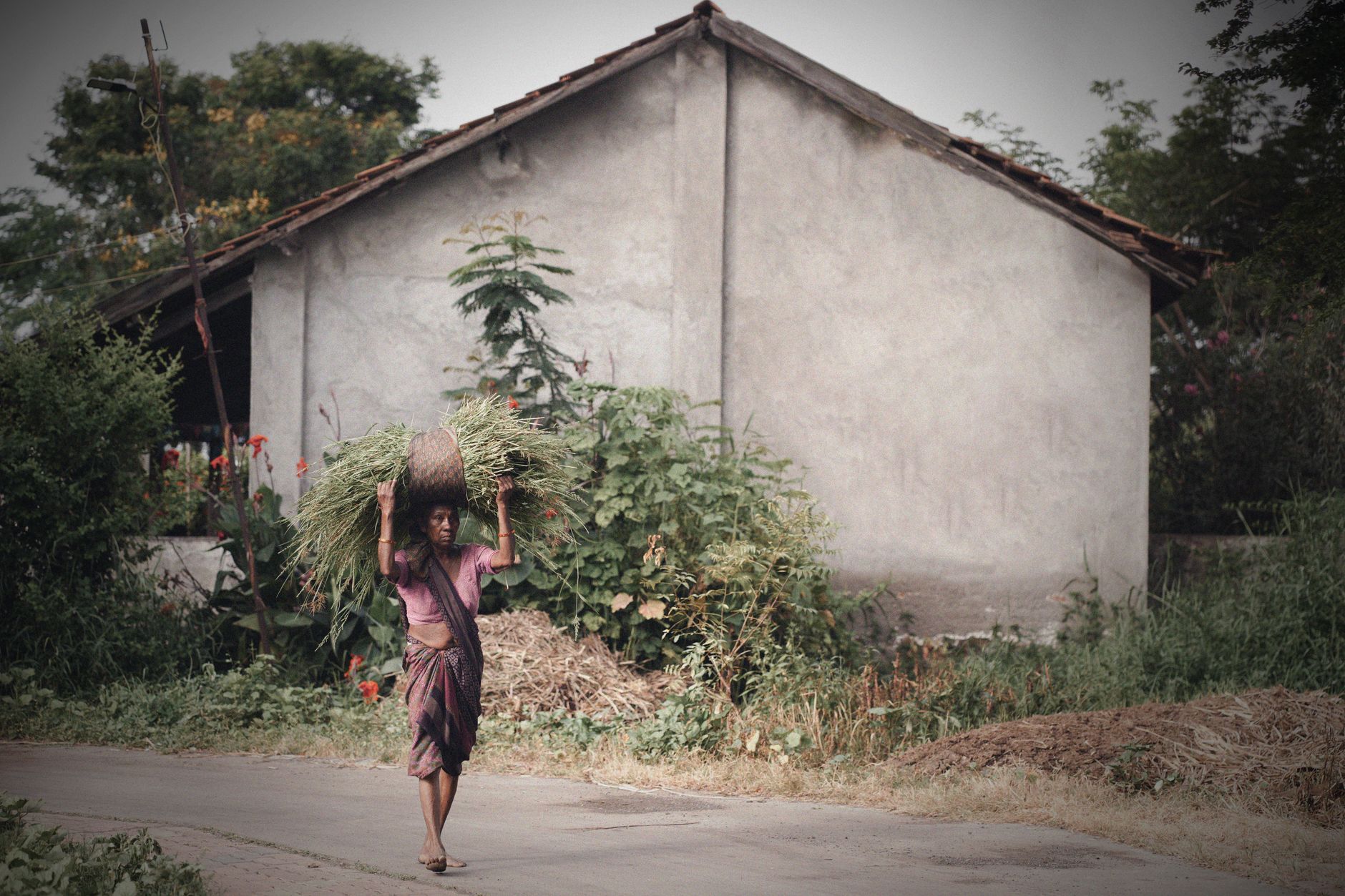
The disaster stunned Indian seismologists because it struck deep inside the stable continental interior of the Indian Plate, hundreds of kilometres from any known plate boundary or major fault — making it, and keeping it today, the deadliest intraplate earthquake ever recorded anywhere in the world. Scientists have since debated whether long-term tectonic compression from the ongoing India–Asia collision, or stress changes linked to the nearby Terna river reservoir, triggered the rupture; the exact cause is still not settled.
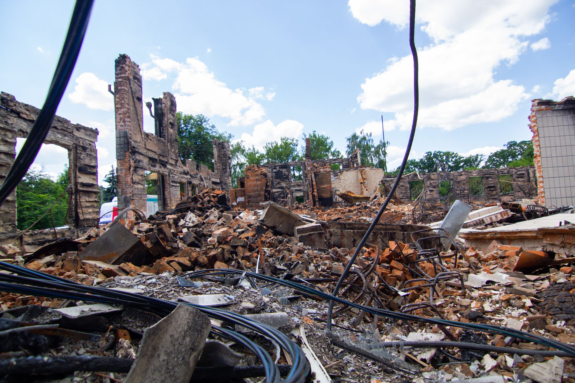
The Indian Army, national relief agencies and international donors mounted a large emergency response, and the World Bank later funded one of India's first major rural earthquake-reconstruction programmes, rebuilding entire villages to seismic-resistant standards. The 1993 disaster also pushed India to revise its national seismic zoning map, reclassifying parts of the supposedly 'stable' Deccan Plateau into a higher-hazard category — a reminder that even geologically quiet regions can produce a catastrophic earthquake with little or no warning.