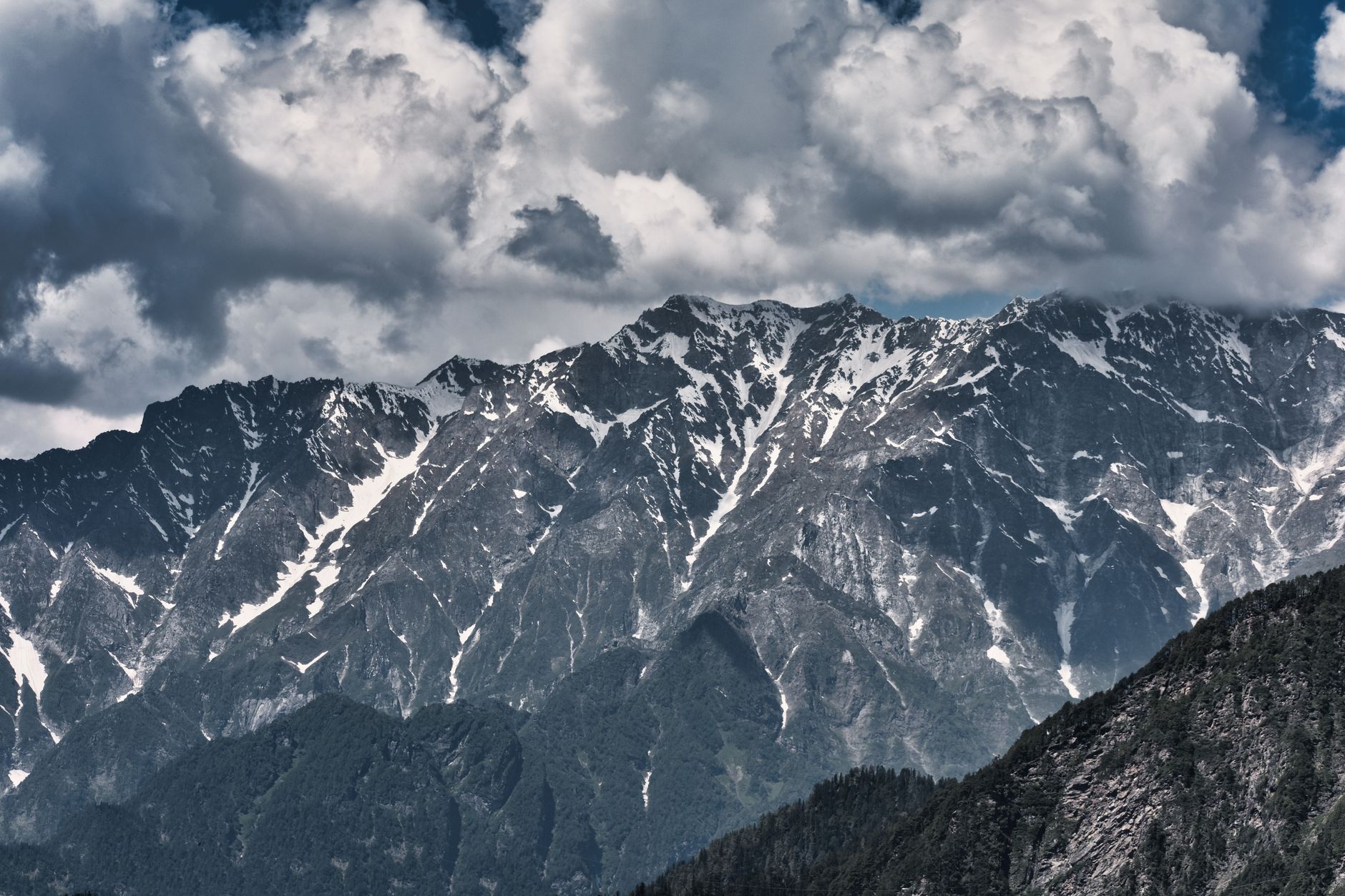
India straddles one of the most consequential tectonic collisions on the planet: the Indian plate is driving northward into Eurasia at roughly 5 centimetres a year, a slow-motion crash that has built the Himalayas and continues to load enormous strain onto the Main Himalayan Thrust and other faults across northern India. This makes the entire Himalayan front, from Jammu and Kashmir through Uttarakhand to Assam and Arunachal Pradesh, one of the highest earthquake-hazard zones on Earth, capable of producing 'Great' magnitude 8+ earthquakes.
Earthquakes in India: Live Map & the Himalayan Collision Zone
Advertisement
Latest quakes in this area
- Loading…
India's most damaging modern earthquake, however, struck far from the Himalayas: the magnitude 7.7 Bhuj earthquake hit Gujarat on Republic Day, 26 January 2001, killing an estimated 20,000 people and destroying entire towns, a reminder that peninsular India's ancient intraplate faults can also rupture violently despite sitting far from any plate boundary. In the northeast, the 1950 Assam-Tibet earthquake reached magnitude 8.6, one of the largest continental earthquakes ever recorded, and the region remains capable of similarly massive ruptures.
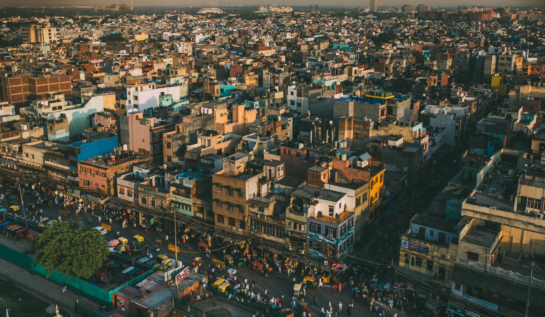
India's National Center for Seismology, part of the Ministry of Earth Sciences, operates a nationwide seismic network and classifies the country into four seismic zones, with Zone V — the highest hazard — covering Kashmir, the Himalayan belt and the northeastern states. Delhi, home to more than 30 million people in its metropolitan area, sits in Zone IV, a moderate-to-high hazard zone that seismologists warn is overdue for a major Himalayan earthquake given the long-accumulated strain along the thrust front to its north.
See also
Advertisement