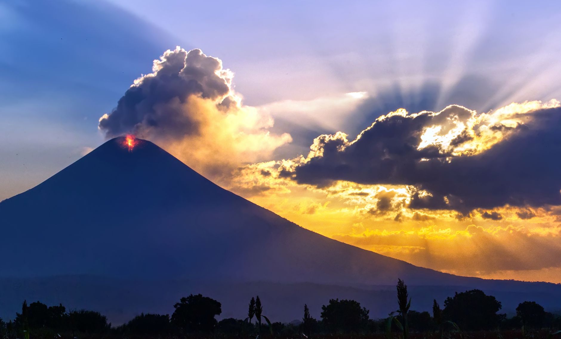
Nicaragua sits directly above the Middle America Trench, where the Cocos plate subducts beneath the Caribbean plate along the Pacific coast, feeding the chain of active volcanoes — including Momotombo and Masaya — that runs the length of the country. Alongside the offshore subduction hazard, a system of shallow crustal faults cuts through the Nicaraguan Depression, the low-lying basin that holds the capital, Managua, and its two great lakes.
Earthquakes in Nicaragua: Live Map & the 1972 Managua Quake

Advertisement
Latest quakes in this area
- Loading…
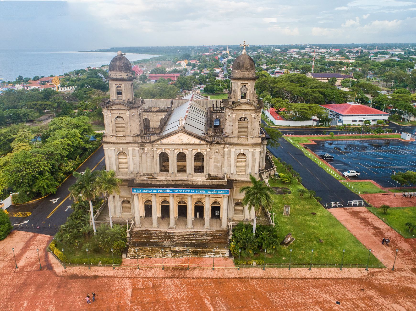
Nicaragua's defining disaster is the magnitude 6.3 Managua earthquake of 23 December 1972. Despite its moderate magnitude, the quake struck directly beneath the densely built capital on a shallow local fault, killing an estimated 10,000 to 19,000 people and destroying most of downtown Managua — destruction the city centre never fully recovered from, and which still shapes the modern layout of the capital. Two decades later, the 1992 Nicaragua earthquake, a magnitude 7.7 offshore "tsunami earthquake", produced only mild shaking but generated a devastating tsunami that killed around 170 people along the Pacific coast, a stark reminder that quiet-feeling offshore quakes can still be lethal.
Nicaragua's Instituto Nicaragüense de Estudios Territoriales (INETER) operates the national seismic and volcanic monitoring network, tracking both the subduction-zone hazard offshore and the crustal faults beneath Managua and other Pacific-side cities. Because the capital was rebuilt largely without a comprehensive building code after 1972, and much of the population still lives close to the Nicaraguan Depression's fault system, earthquake preparedness remains a central part of the country's civil defence planning.
See also
Advertisement